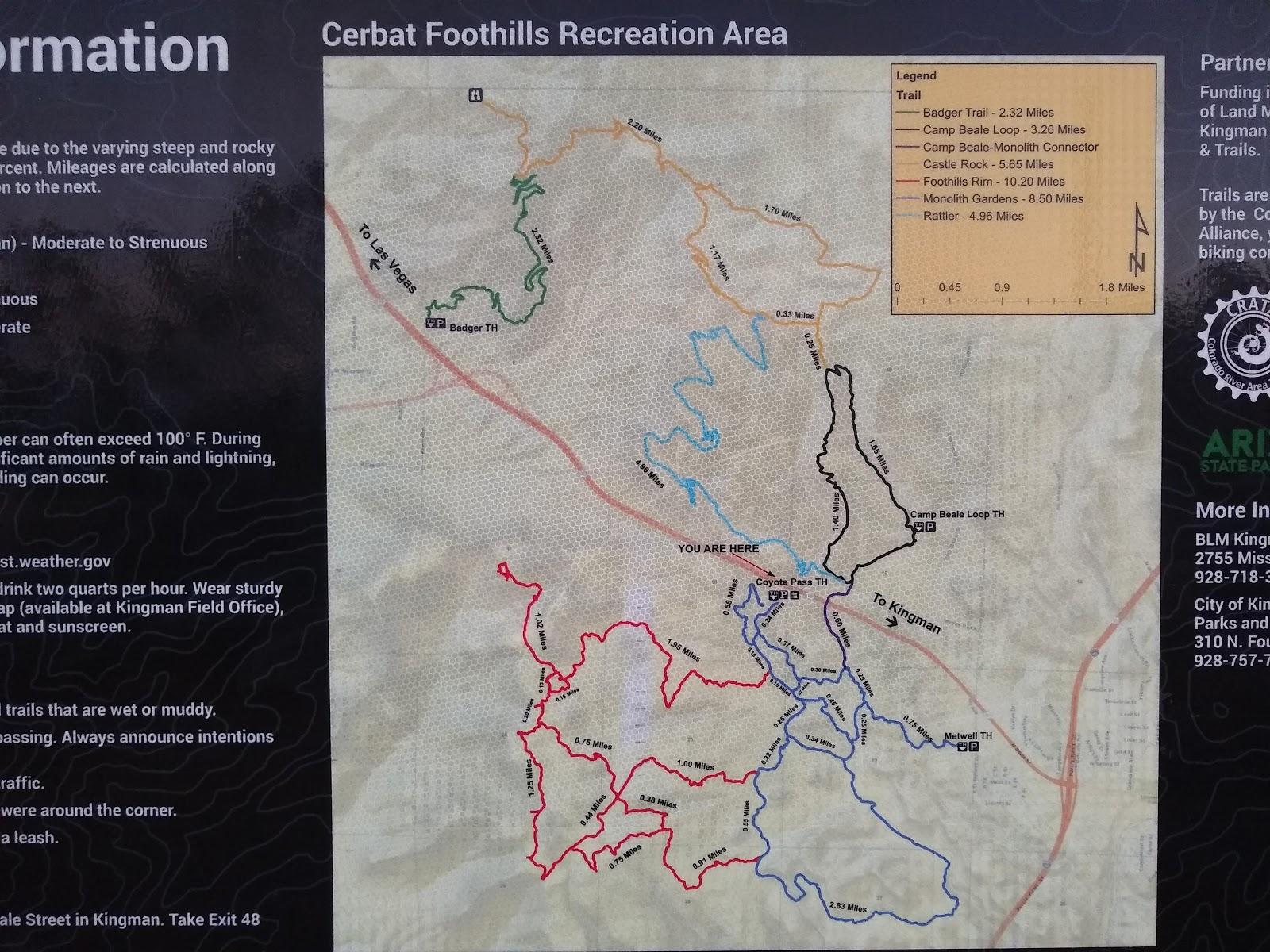
Beale Loop Trailhead: From downtown Kingman travel west on Beale St./US Highway 93. Continue under the I-40 approximately 0.7 mile to Fort Beale Drive. Turn right on to Fort Beale Dr. and travel 1.5 miles to the paved entry road. Turn left, continue to the parking lot. Trailhead elevation: 3,626’.
Metwell Drive Trailhead: Turn left on Metwell Drive off of U.S. Highway 93, about .5 mile/.8km northwest of the I-40 interchange in Kingman. Drive 0.1 mile to a right turn on a dirt road. The trailhead is located 50 yards ahead.
Coyote Pass Trailhead: Located 2 miles/3.2km west of downtown Kingman on U.S. Highway 93. The trailhead can only be accessed from the southbound lane of the highway. Look for a large parking area near the top of Coyote Pass, where a rest room facility can be seen. This trailhead is recommended for horse trailers and/or large numbers of vehicles. Trailhead elevation: 3,680’.
Badger Trailhead: Follow U.S. Highway 93 five miles northwest from the Kingman city limits. The trailhead is located one-quarter mile north of the Highway 68 intersection (first right turn after the interchange). Trailhead Elevation: 3,410’.
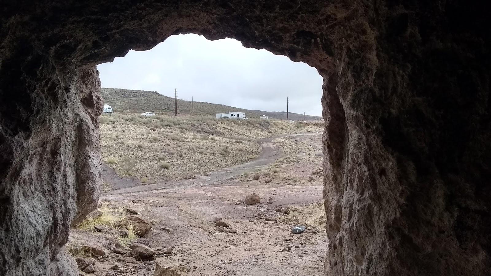
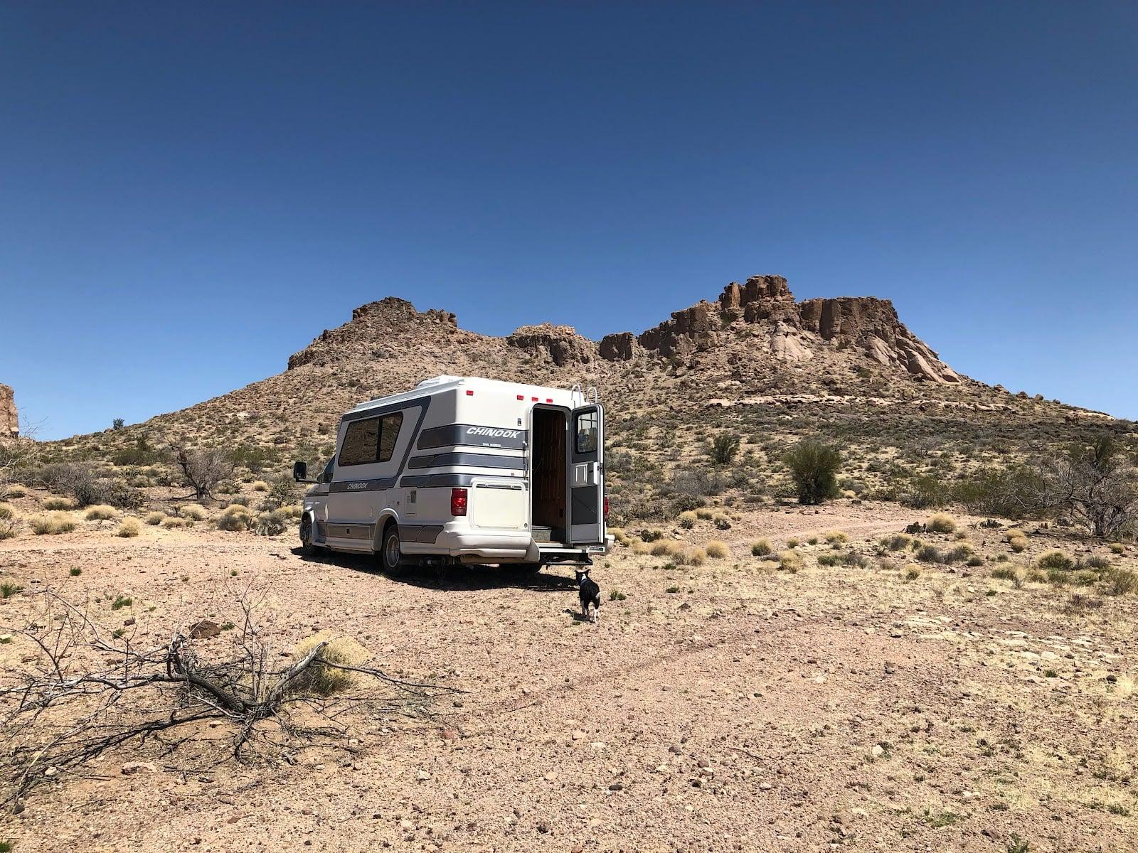
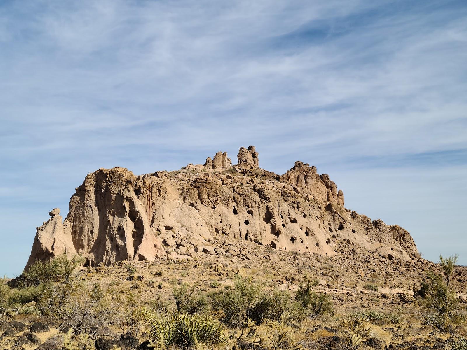
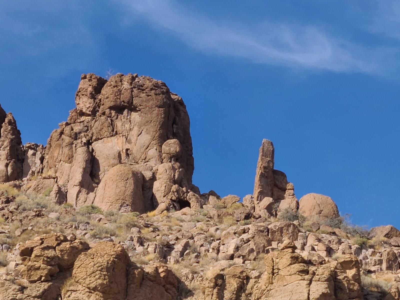
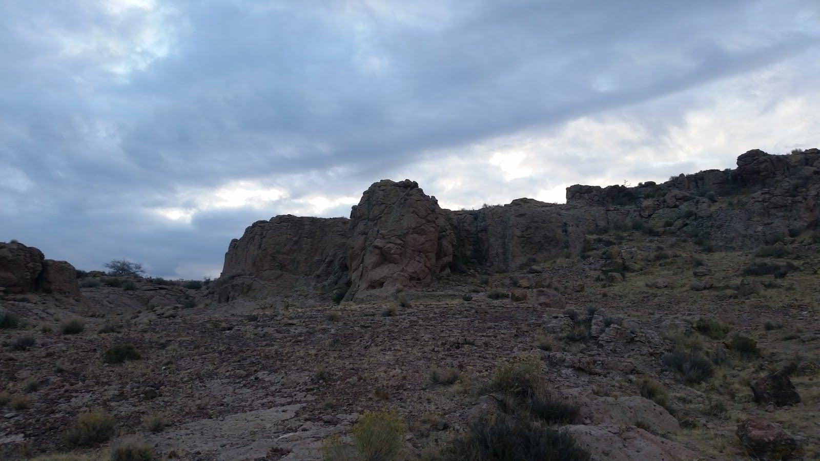
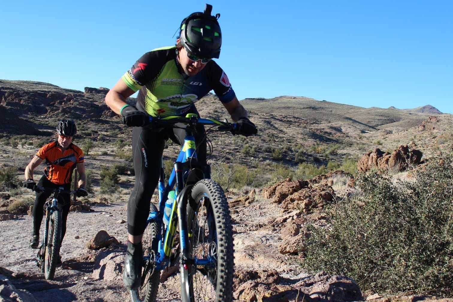
The Cerbat Foothills Recreational Area Trail System allow hikers and bikers a thrilling and scenic venture into the desert valleys, hillsides, and tops of mesas, while providing a link from Downtown to Uptown Kingman.
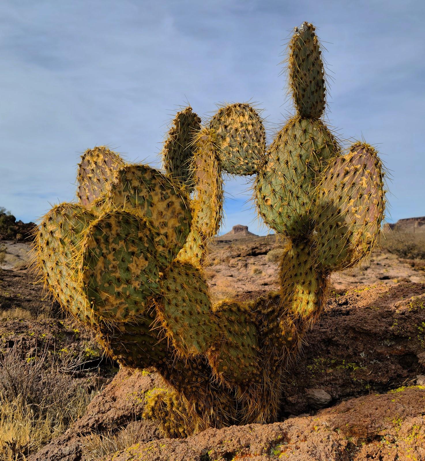
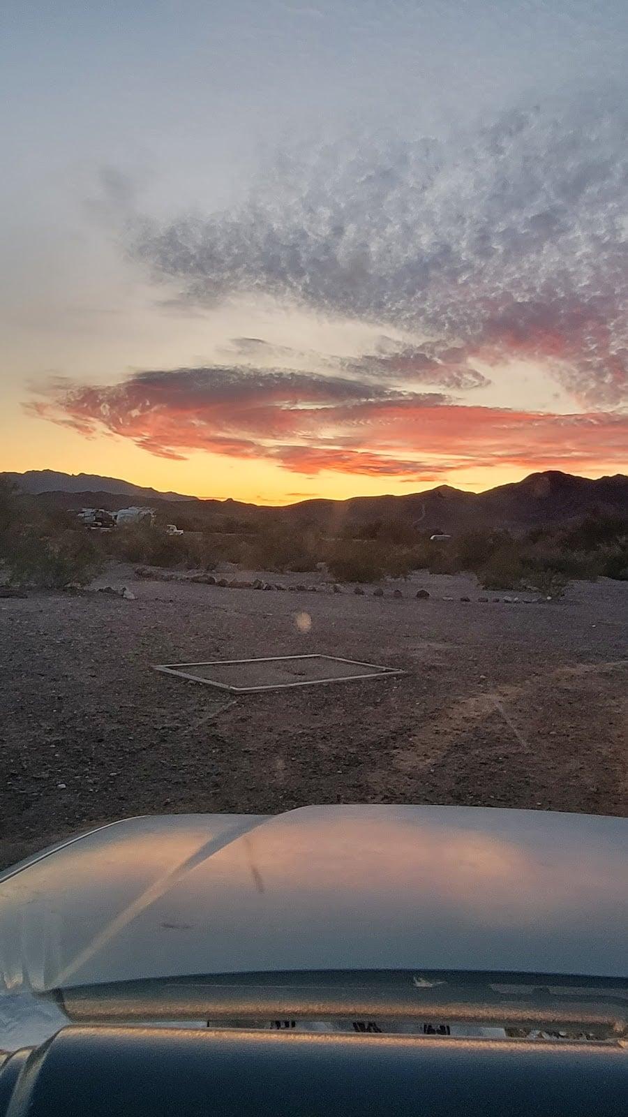
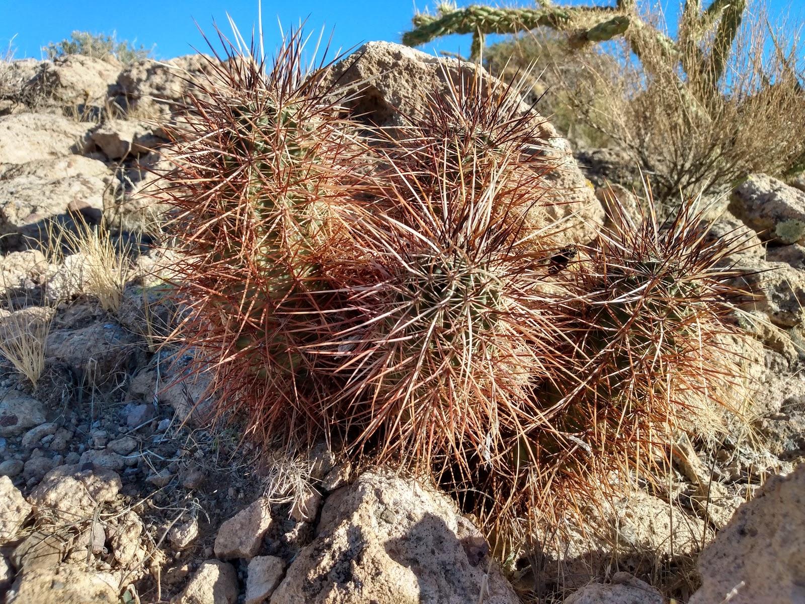
The area also features historic significance to the area and western culture. Existing roadbeds throughout the area also provide even more opportunity to explore what the desert has to offer. Wildlife for the desert is abundant in the early mornings and late evenings and gives visitors the chance to explore nature and challenge themselves. Trails are for daytime use only.
Trails are on “open range” land and you may occasionally encounter livestock on or around the trails and snakes in warmer weather.
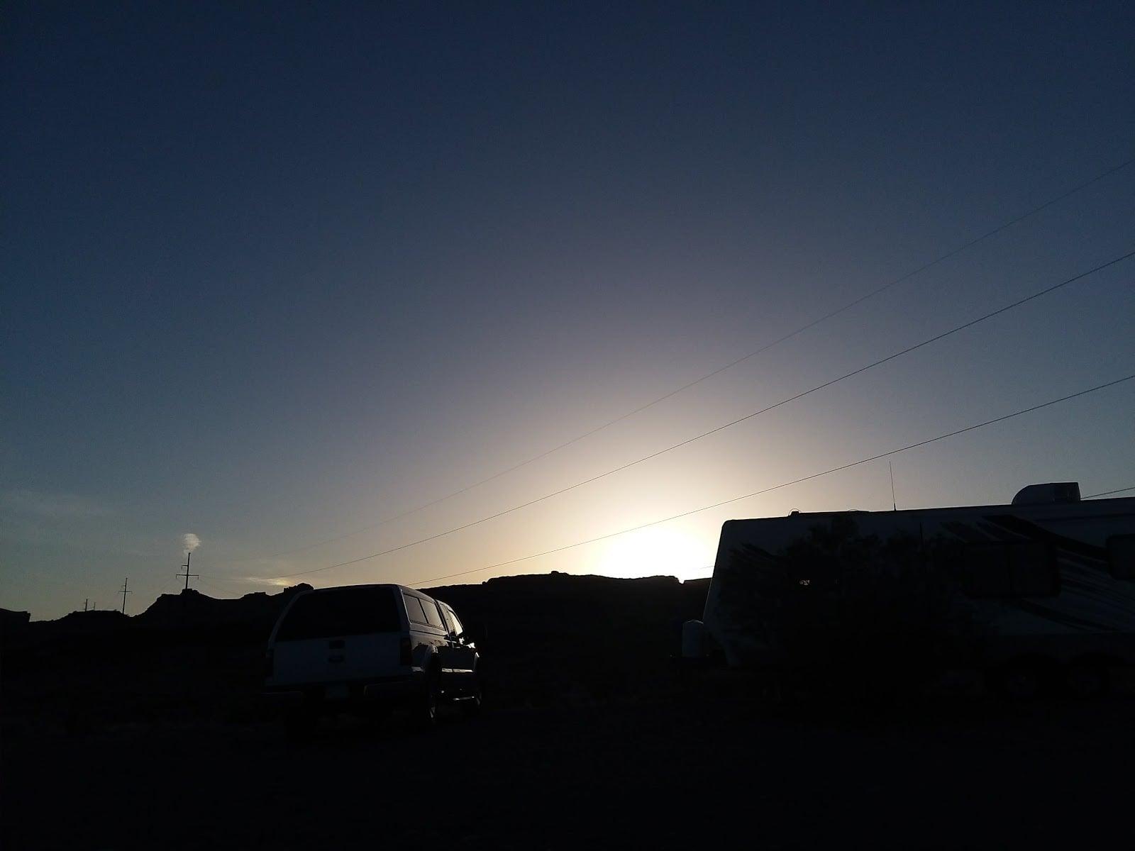
Weather conditions are most comfortable between the months of September and May, although early-morning use during the summer can be pleasant. In years of abundant winter rainfall, spectacular wildflower displays can be seen the following spring.
Phone
928.718.3700 Kingman BLM Field Office
(BLM Kingman Office)
928.757.7919 Kingman Parks & Recreation
(City of Kingman Parks & Rec.)
 H: 71°
 H: 81°